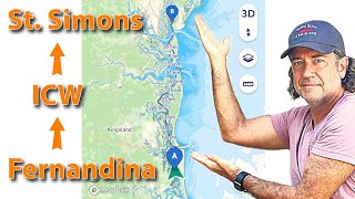
Intracoastal Waterway Hidden Treasures: Fernandina to St. Simons
Intracoastal Waterway Hidden Treasures: Fernandina to St. Simons

Brought our Jeanneau Merry Fisher / NC 1095 in for some service and Dunbar Yachts at Golden Isle Morningstar Marina. We highlight some of our favorite spots and navigation tips on our trip.
—
👕 Check out our official merch: https://echozulucruising.com/
💸 Support the channel in the Tip Jar: https://shop.echozulucruising.com/TipJar
🛥️ BoatUS Membership (Get the Gold for Towing!): http://shop.echozulucruising.com/BoatUS
—
Georgia has restrictions on anchoring, so always confirm your location at: https://coastalgadnr.org/Liveaboards.
While a permit is not necessary for overnight anchoring, there are areas where you cannot anchor. These are:
-within 300 meters (1,000 ft)* of marked shellfish beds, whether commercial leases or public-picking areas.
-within 300 meters (1,000 ft)* of any structure, such as public and private docks, wharfs, bridges, piers and pilings, except in areas near marinas.
* Note: the exclusion zone applies to the vessel’s swing circle.
#boatlife
#boattrip
#icw
00:00 Trip Planning
01:55 Navigation with Savvy Navvy App
05:57 Brickhill River Anchorage Entrance
06:38 St Andrews Sound

Great video! Thank you👍
I use the navionics boating app ( on my cellphone) to give me a detailed map of the ocean bottom where ever I am. It is much better than a depth finder. Check it out. It is a life saver when I am fishing. No more snagging the bottom with my downrigger cannon balls. Or going near shoals or shallow water. I use that along with the Garmin Striker GPS fish finder.